
United States Map Learning Chart
Out Of Stock

Double tap Zoom
Best for 0
1 chart
Discontinued
Unfortunately this item has been discontinued
0
Use This Chart To Teach Kids About U.S. Geography And Map Reading
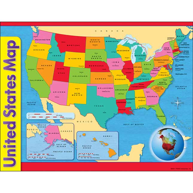
Teach kids about U.S. geography with this map that shows all 50 states, including Alaska and Hawaii.
Help students learn about their country with this U.S. map that displays key features of each state.
- Distance Scale In Both Miles And Kilometers: Kids will learn the United States inside and out, including the distance between different states.
- Includes Features Of Each State: The map shows the state capital and labels important water features. An inset globe shows the Western Hemisphere.
- Durable 17" By 22" Chart: Printed on sturdy paper, this poster is designed to be used year after year.
- Extra Value: The back of the chart includes reproducible activities, subject information, and helpful tips.
- Great For School and Home: This chart can be used at home or at school to teach kids about U.S. geography.
Help students learn about their country with this U.S. map that displays key features of each state.
- 1 United States map
- Size: 17" by 22"
Similar Products


